``

Monday 28 January 2013

A Day trip to Salters Lode and Denver Sluice 28 01 2013

Following reports of very high water in March Town yesterday we decided to drive over and check the boat, needless to say when we arrived water levels were back down to normal, but we could see how high they had been. We took the opportunity to deliver a pack of beer to two of the boats that moor by us as thanks for adjusting our ropes with the fluctuation water levels.

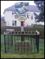
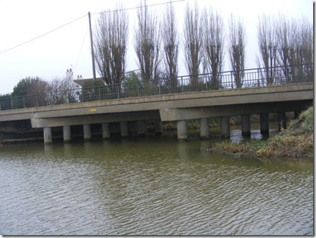
After checking all was OK we drove to Benwick to see how work was progressing with the bridge. It is still at the very early stage with the council still erecting the fencing around the work site.

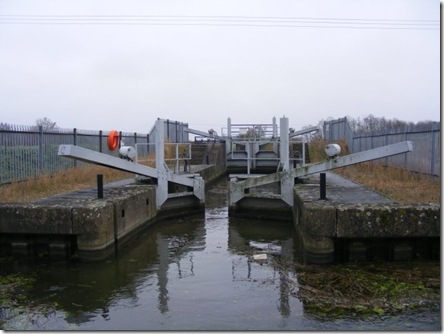
After a stop for lunch at Skylarks we carried on to Maront Priory lock which also has a stoppage on. There Middle Level workers were fitting the stop planks to drain the lock so that they can inspect the “Slackers”.

Well Creek still had a covering of ice in lots of places with water on the top.

As we were passing we called in at Salters Lode to look at the state of the silting in the lock mouth, there are now three boats stuck here waiting to make the crossing to Denver.a small DSCF0977
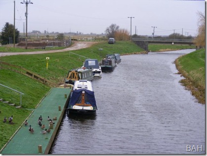
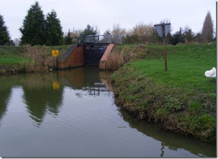
Looking over  the mouth of the lock the sand bank is even higher than last time we visited, I would guess that the water depth at high tide would be no more than 18” a small DSCF0973as you can see its half way up the tyres.
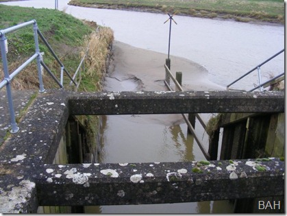
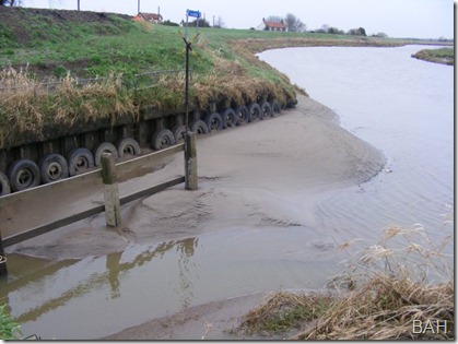
a small DSCF0975The entrance is between the timbers and the tyres against the wall.

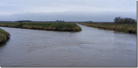
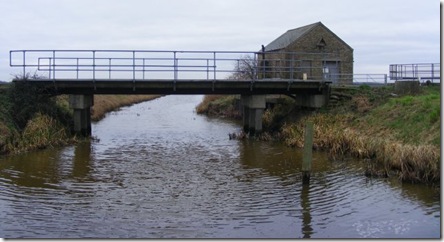
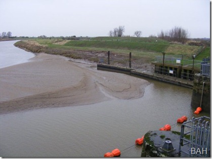
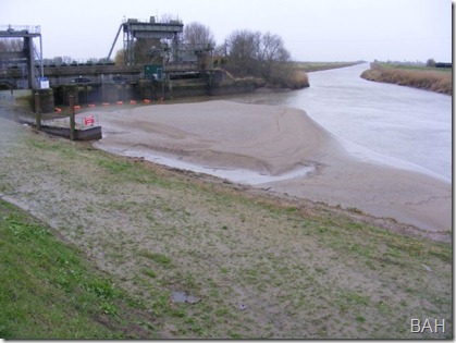
We then drove round to Denver Sluice to see the state of things there. Even if we were able to get out of Salters we would not be able to turn into Denver due to the silt build up near the lock mouth even coming along the front of the sluice gates.a small DSCF0982The height of the bank is more visible by walking down the flood bank and looking upstream to the complex.a small DSCF0988Looking the other side of the complex the none tidal river level was down by about 2 feet from its normal level leaving an Eel net half out of the water, I wonder if anyone knew it was still there?a small DSCF0984Lots of the moored boats were sitting on the bottom and listing towards the centre of the river. a small DSCF0992 The edge of the slipway can be seen here above the level of the water and the normal level is clearly visible on the wall.a small DSCF0979
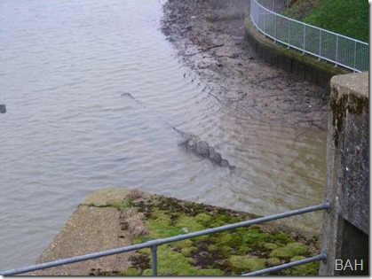
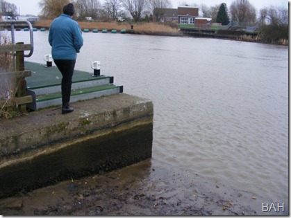
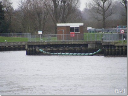
On the far side of the river the Boom protecting the weir by the lock down to the relief channel is doing nothing, just hanging in mid air.a small DSCF0991It was also obvious why we have sometimes had bit of a problem getting into the service moorings. 
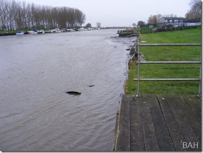
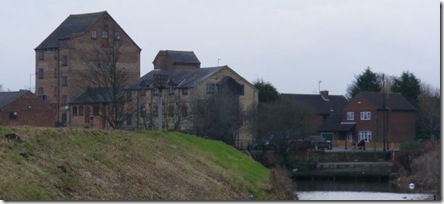
From here it was home, but we made time for a cup of tea and a piece of cake at Denver Mill . Here we were met by the news that the cafe and shop are closing down on the 15 March and moving to Kings Lynn. It is exactly a year ago that the Mill lost its sail during a visit by school children, full details can be seen here
Saturday 12 January 2013

Thursday 10 Jan 2013 Home Mooring

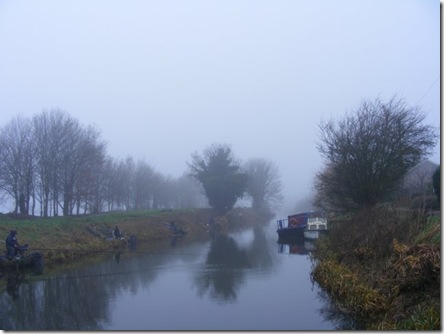
Well if last night was bright and clear this morning was just the opposite. When I looked out of the back doors at about 9 am the visibility was about 100 yards.small DSCF0946 As we had to drive home we decided just to stay put until it started to Clear at about 11 am.
Last night I was surmised how clearly we could hear the trains going by, the frequency dropped off after we had gone to bed so didn't disturb our night. However this morning in the fog we could barely hear the trains go by.
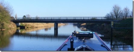
The fog started to lift quite fast and the sun even started to peep through for a short time. At the end of the Twenty Foot River we passed under the bridge at Angle Cornersmall DSCF0950 and turned very sharp left heading east. By now the water levels were even lower than they were yesterday and I found the going quite slow for a bit. About an hour later we joined the old course of the River Nene where it came down from Benwick the same stretch we we on 4 days ago. Another thirty minuets and we were turning into our moorings, we have been cruising for 4 days around about half the Middle Level and not seen a single boat on the move.
Once moored up I set to draining the water system down in readiness of the big freeze that is forecast for next week.

On our way home we decided to call in at Salters Lode discuss with Paul, the lock keeper the possibilities of crossing to Denver some time in the next month. He suggested we go and look at the other side of the lock to see the situation for our selves, what we saw did nothing to add to our confidence for making a crossing. The silt outside the lock is now all the way across the mouth of the lock from side to side, there is no way that we will get out of there until after it has been dredged.

Wednesday 9 January 2013

Wed 9 Jan 2013 Twenty Foot River

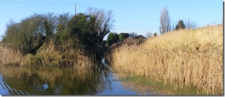
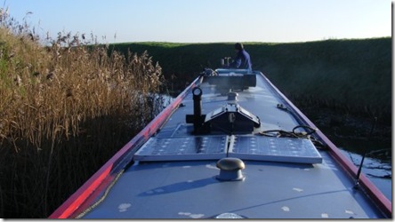
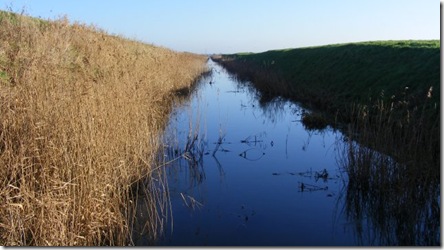
After mooring yesterday afternoon we walked along the bank to Three Holes hoping to check out the pub and find out where the IWA were planning to put the new moorings, we failed on both counts, the pub has closed down and is being converted into a private house and there was no one about to ask about the moorings.This morning we woke to both the sunshine and the bird scarer banger going off, well it was just above us on top of the bank.We set off at 1030 am passing under Three Holes road bridge and trsmall DSCF0885avelling about quarter of a mile down the Middle Level main drain, this drain sliced through Pophams Eau with the channel on the west going through the village and the channel small DSCF0889on the east going to Nordelph. We decided to see if we could get down the channel towards Nordelph, small DSCF0890it runs at an acute angle to the main drain but the very end is turned to meet at right angles. We entered this disused channel quite easily and surprisingly got round the sharp left hand bend. The channel was about 16 wide and reedy on both sides, I tried a pole and it is about 4 feet deep with a very hard bottom. small DSCF0892It runs dead straight as far as the eye could see, we only went a few yards as I would have to reverse all the way back and there was also the possibility we could encounter something like eel nets, so I just took a few photos and backed out. Once back in the main drain we headed back through Three Holes bridge and turned right, west along Pophames Eau, here it's about 80 foot wide and is the county boundary of Norfolk on our right and Cambridgeshire on our left. small DSCF0902small DSCF0900


When we reached the end we turned left towards March where we planned to spend the night on old course of the River Nene. As we passed the wind farm it was such a cracking day that we made a change of plan and when we reached the Twenty Foot River we turned right, passing the sewage farm on our left, under the railway line and then a little later under the disused small DSCF0918railway which is now a cycle way. Not long after this we came to Infields Bridge small DSCF0924this is the lowest bridge on the system that we can get under but today the water was well down and we didn't even touch the radio aerials. small DSCF0927We carried on well towards Angle Corner before pulling over to moor for the night. The river here is exactly lined up with the sunset and the sun appeared to sink into the water just on 4 pmsmall DSCF0939.small DSCF0942

small DSCF0944

Tuesday 8 January 2013

Tue 8 Jan 2013 Three Holes

Last night moored in Ramsey was surprisingly quiet and it wasn't until this morning that we heard any lories going by, by which time we could also hear the birds singing. By 9 am the sun was even out but didn't amount to much, still better than the forecast rain. Just as we were untying to leave I noticed about a dozen golf balls waking on the bed of the basin. There is a golf club at the other end of the arm but the main storm drains enter at the basin so probably the balls were washed in by that route and settled as soon as the water speed slowed down. We set off at 1020 and turned right at the end of High Lode onto the Forty Foot, small DSCF0832we followed this in basically 3 straight lengths as far as the junction Sixteen Foot Drain. We passed several fishermen on the way and it is striking how much friendlier they are around here and on the river compared to their comrades on the canal. They all look at you and are happy to exchange a few words, even thanking us for going slowly along the opposite bank so not to spoil,their swim. We turned up the Sixteen Foot Drain and followed it almost to Three Holes morning on the right hand bank midway between the last bridge where the road goes away from the water and the junction at Three Holes where more roads cross the water. Hopefully this will give us a very quiet mooring for the night

Monday 7 January 2013

Mon Jan 7 2013 Ramsey

Last night was again very quiet resulting in us not waking very early this morning. We set off at 11am and turned left at the end of Great Raveley Drain. The garden of the house at the junction was full of geese and on the opposite bank there were a collection of Pea Cocks which a assume have migrated across from the house. We continued on until we reached Monks Lode,small DSCF0804 we have never been down here before but it is dead straight all the way to the limit of navigation by the pumping station and bridge, it looked fine the other side of the bridge and I am sure we could have got under it but this Lode is only about 40 feet wide and as it is we had to reverse all the way back to the junction so we didn't risk going further.small DSCF0798 Once we had reversed out we retraced our steps back to Lodes End lock and locked up to the Ramsey 40 Foot. The level on the 40 foot has probably risen by 2 inches since we left. We now turned sharp right down High Lode passing Bill Fen Marina, they still had their flood gates securely closed, small DSCF0820we continued on to the end of High Lode in Ramsey where we winded with the bows into the brambles on the off side, these brambles made things tricky as there is only just sufficient width to the wall and a meter of brambles sticking out made it difficult to swing the bows back downstream with no flow to assist us. small DSCF0818The waster level is so low that we can't get against the quay so we just have the centre rope out to the only bollard we can reach and are about a foot or so out into the Lode. The weather forecast has taken a turn for the worst, until yesterday it was forecasting cold and bright for the rest of the week with night time frost, that has now changed to be a bit warmer with rain on and off through out the days.

Sunday 6 January 2013

Sunday 6 Jan 2013 Gt Raveley Drain

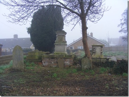
First an apology for duff info yesterday. Benwick foot bridge is not due to be replaced until later in the month. It use to be a cart bridge and was then turned into a pedestrian bridge. The plans are to replace it with something similar, wide enough to be a cart bridge but restricted at the ends to make it only usable by pedestrians. This will involve closing the navigation for about a month. Last night we walked into the village for dinner at The Five Alls where in addition to their normal menu they had 3 different curries on. Diana had chicken and I had pork washed down with one of their real ales. This morning we woke to a very misty morning so decided to take a walk round the villagesmall DSCF0766 hoping the mist would lift before we set off. Benwick has been very unlucky with religious buildings and both the church which use to stand near the river and the Baptist Chapel in the high street have been demolished. small DSCF0765Last time we visited the burial ground where the chapel stood was very overgrown. This has now been cleared and we took the opportunity to have a look round. The rear boundary wall is actually the remains of the chapel and the air vents that would have been below the floor and slate damp course are visible. We returned to the boat at about 12 to set off, but with the engine battery sitting at 12.1 volts there was not much chance and the engine just groaned. Good old Jimmy the jump lead gave a hand and by 1220 we were on our way, sliding slowly through both the small DSCF0770mists and the fishing match that had set up just ahead of us. We passed a few moored Narrowboats as we pushed on up the course of the old River Nene. At the junction with the Forty Foot Drain we followed the river round to the left a continued to Loads End Lock. small DSCF0780The lock also acts as a sluice allowing the river to flow down hill pushing the gates open but not to flow back if the level of the Forty Foot Drain rises, which it often does in the winter months, since Christmas the level has been almost 3 feet higher than it is today. Through the lock we continued upstream until we reached New Dyke, here we turned left leaving the river and then turned left again down Great Raveley Drain. small DSCF0809This drain is only navigable for about half a mile where a drainage structure has been built across the drain. We winded just prior to this structure where the drain was just wide enough for us to get round and I do mean just. This manoeuvre was not appreciated by an angler who was fishing for Zanda which he classed as a shy fish. Once round we retraced our steps for a few hundred yards to where the bank was solid enough to get off the boat, by now it was 4 pm and we moored for the night

Saturday 5 January 2013

Saturday 5 Jan 2013 Benwick

We arrived at the moorings a little after 2 pm to find Dave firing the BBQ up for the first time this year. Following loading the boat I set to refilling the domestic water system. I would have been easier if I had remembered to open the stop cock on the tank outset first. We didn't have sufficient water in the storage tank to full charge the system so it was out with the hose to top the tank up. We needed to fill up before leaving as we are planning a few days on the Middle Level and there is only one water point and that is in March. Next job start the engine, to say that the starter battery was not over enthusiastic would be an understatement and I think I need to put a new one on the bring back list. The voltage was sitting at 12.3 before I tried to start her, but it picked up straight away, not sure how it would have done if the temperature had been around zero. Engine running, water tank full, stove alight so it was time to go. Ropes off and at five to three we were sliding backwards out from our mooring, today we were turning west for a change. The sun was very pleasant but the stiff breeze was quite cool, about half a mile up the river we forked to the left down towards Benwick, half a mile down the cut and we cam on two men is a small rowing boat trolling for pike and zanda. Our planned destination for tonight was the public moorings in Benwick but getting there was dependent on two things, one the light holding out and the second being that the local council had not started to rebuild small DSCF0769

the footbridge across the river. We were lucky on both counts, no sign of any work on the bridge, if there had have been it would have been backwards all the way to the junction, probably an hours run. We passed under the foot bridge and pulled into the moorings at five to four, the sun had gone to bed but it was still light.